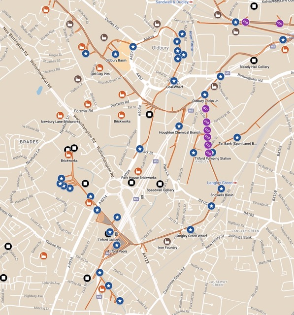
A work of love by Paul Sebbage: The historic map of the canals (from the National Library of Scotland) together with the modern Google map of the are.
Historic industries along the canals (around 1900) are marked and labelled – it must have taken ages to get all the information together.
Click on the map to open (in a new window), zoom in, play around, switch things on and off. Enjoy!
Even better, use Google Earth or (best) Google Earth Pro:
Download this Google KMZ file, open it in Google Earth (or Pro), and explore more!


